
Interview: The Future of GNSS Solutions and Its Impact on Industry
Interviewer: Atty. Bilge Kaan Özkan
Guest: Stéphanie Gosselin, Sales Consultant at Effigis
1.
Bilge Kaan Özkan: Ms. Gosselin, thank you for joining us. To begin, how would you define GNSS Solutions in the simplest terms?
Stéphanie Gosselin: Thank you for having me. GNSS Solutions is essentially a “positioning data processing software.” It takes raw data collected from GNSS satellites, processes it using mathematical and geodetic models, and delivers highly accurate coordinates to the user. In other words, it allows you to determine the position of a point in the field with centimeter-level accuracy. But it’s more than just a tool—it is a platform for positioning validation and analysis.
2.
B.K.Ö.: Who exactly is the target audience for GNSS Solutions? Is it exclusively for professional surveyors, or does it cater to a broader community?
S.G.: At first glance, it may seem like surveyors, geomatics engineers, and researchers are the primary users. But in reality, it serves a much wider community. Precision farmers, engineers in construction, archaeologists requiring accurate site mapping, and even energy companies rely on it. So, GNSS Solutions is not just an academic or technical product—it’s a multi-sector solution package.
3.
B.K.Ö.: What kind of feedback does Effigis receive from clients using this software in the field? Which features do they value most?
S.G.: The feedback we hear most often is about reliability and flexibility. Users typically work in challenging environments: dense urban areas, mountainous regions, or forests. GNSS Solutions, with its multi-constellation support, still manages to deliver. Clients also appreciate its user-friendly interface, which allows even non-engineers to get up to speed quickly. For us, the most rewarding feedback is that the software helps users save time and streamline their workflows.
4.
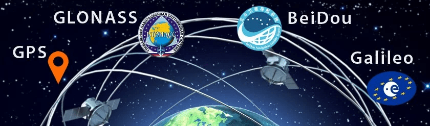
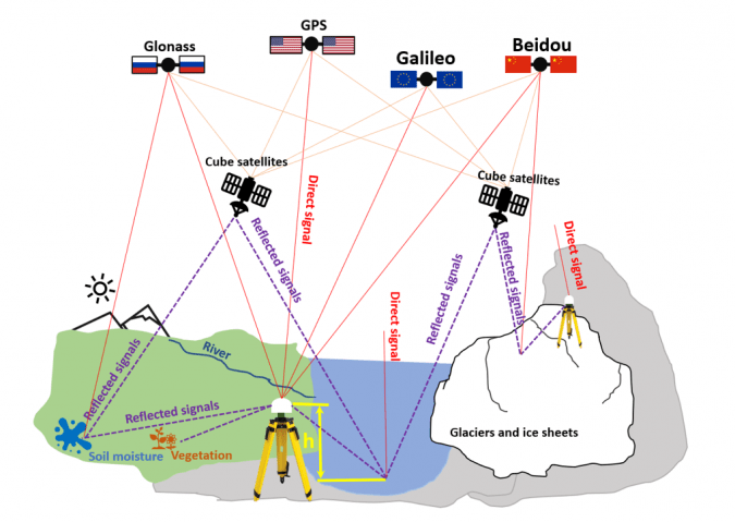
B.K.Ö.: GNSS Solutions supports multiple satellite constellations such as GPS, GLONASS, Galileo, and BeiDou. How does multi-constellation use benefit field operations?
S.G.: Multi-constellation is essentially the guarantee of accuracy and continuity. Relying on a single system can be risky. For example, in urban canyons where GPS signals may reflect off buildings, Galileo or BeiDou signals can compensate. This reduces errors and ensures uninterrupted measurement capability.
5.
B.K.Ö.: The software can process both static and kinematic data. Could you explain this difference with practical examples?
S.G.: Of course. Static processing is typically used for long-term measurements, such as establishing geodetic networks or monitoring tectonic movements. Kinematic processing, on the other hand, is ideal for dynamic surveys. For example, during a drone flight, GNSS Solutions can calculate positions in real time, enabling the production of high-resolution maps. In short: static data ensures long-term accuracy, while kinematic data delivers real-time precision.
6.
B.K.Ö.: Positioning technologies are now used everywhere, from autonomous vehicles to agriculture. In your view, which industry benefits the most from GNSS Solutions today?
S.G.: It’s hard to single out just one, but agriculture and logistics are making remarkable progress. In agriculture, centimeter-level positioning prevents seed waste, optimizes fertilizer and pesticide use, and reduces costs. In logistics, GNSS Solutions helps validate fleet routes more efficiently, lowering fuel consumption and carbon emissions. So the benefits are not just economic, but also environmental.
7.
B.K.Ö.: In developing countries like Türkiye, where do you see GNSS solutions spreading most rapidly?
S.G.: Three sectors come to mind: infrastructure, agriculture, and energy. Türkiye’s geographical diversity makes accurate positioning critical. For example, in dam construction or highway projects, GNSS Solutions can form the backbone of the work. In agriculture, given Türkiye’s vast farmlands, I expect precision farming technologies to expand quickly.
8.
B.K.Ö.: What is Effigis’ vision in the GNSS field? What innovations can we expect to see in GNSS Solutions in the coming years?
S.G.: Our vision is to make GNSS data more accessible, faster, and more integrated. In the coming years, you will see more cloud-based versions of GNSS Solutions. This will allow users to process data directly from the field without having to return to the office. We are also working on AI-powered error analysis, which will guide users toward more accurate results in less time.
9.
B.K.Ö.: For those who want to learn GNSS Solutions, how do training and support systems work?
S.G.: At Effigis, we offer a comprehensive training ecosystem. There are online courses, video tutorials, and interactive workshops. We also provide on-site training when needed. On the support side, we run a 24/7 technical assistance line. So even if a user in Türkiye encounters a challenge in the middle of the night, they can count on us for immediate help.
10.
B.K.Ö.: Finally, what advice would you give to professionals who are new to GNSS Solutions or considering adopting it?
S.G.: My biggest advice would be: don’t look at GNSS Solutions as just “software.” Think of it as a platform that transforms your workflows. It doesn’t just validate coordinates; it accelerates decision-making processes. At first, it may seem complex, but once you understand the basics, you’ll see how much it simplifies your work. My recommendation for beginners is to start with small projects and gradually move on to more complex ones. This way, they can unlock the full potential step by step.
11.
B.K.Ö.: Recently, climate change and environmental sustainability have become global priorities. How can GNSS Solutions contribute to tackling these challenges?
S.G.: That’s a very important question. GNSS Solutions plays a direct role in sustainability. For example, in precision agriculture, farmers can reduce overuse of fertilizers and pesticides by applying them only where they are needed. In forestry, GNSS helps monitor deforestation and land degradation. In urban planning, it supports smarter infrastructure that minimizes environmental footprints. So, positioning accuracy translates directly into more responsible use of natural resources.
12.
B.K.Ö.: Autonomous vehicles are making headlines almost every week. Where does GNSS Solutions fit into this technological race?
S.G.: GNSS is one of the backbones of autonomous mobility. While sensors like LiDAR and cameras are crucial, they don’t work well in every condition—for example in fog or heavy snow. GNSS, on the other hand, provides reliable positioning regardless of visibility. GNSS Solutions ensures that autonomous vehicles can localize themselves with centimeter-level accuracy. This is critical for safety, traffic efficiency, and even insurance compliance in the future.
13.
B.K.Ö.: Security and data integrity are hot topics, especially with concerns over cyber threats. How does Effigis address these risks in GNSS Solutions?
S.G.: GNSS signals can indeed be vulnerable to spoofing or jamming. At Effigis, we take this very seriously. GNSS Solutions integrates advanced algorithms to detect anomalies in satellite data, helping users identify potential interference. We are also working on partnerships to integrate encrypted GNSS services, like Galileo’s Public Regulated Service (PRS). In other words, security is now part of accuracy.
14.
B.K.Ö.: With the rollout of 5G and the Internet of Things, location-based services are exploding. Do you see GNSS Solutions playing a role in this ecosystem?
S.G.: Absolutely. 5G enables ultra-low latency communication, and GNSS provides the precise positioning backbone. Together, they power next-generation applications: smart cities, connected logistics, drone delivery, and real-time asset tracking. GNSS Solutions ensures that the positioning side of this equation is reliable, which is fundamental for IoT scalability.
Av. Bilge Kaan ÖZKAN 'ın kaleminden.. sitesinden daha fazla şey keşfedin
Son gönderilerin e-postanıza gönderilmesi için abone olun.
